Raster Data Clipping in ArcGIS
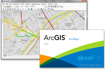
ArcGIS is a famous software for Map generation and Geographical data processing. ‘Raster Data clipping’ is a process of cutting or separating a part of map for more detailed data processing. In ArcGIS, raster data clipping is done with a tool called ‘Clip’. Today we gonna see how this clipping work is done with some … Continue reading Raster Data Clipping in ArcGIS
15 Comments